Communicate the concept
Show how trees, shrubs, herbs and groundcovers form a layered system.
See the landscape before it is planted
Turn a two-dimensional planting plan into a view that makes height, structure and the experience of the future landscape easier to understand.
Why it helps
Clients, students and project partners often struggle to read a flat plan. A 3D view makes canopy layers, plant scale and spatial relationships visible, helping everyone discuss the same design.
Show how trees, shrubs, herbs and groundcovers form a layered system.
Inspect plant dimensions and spatial balance from multiple viewpoints.
Use growth stages to discuss how the landscape may change over time.
Create a more convincing visual story for clients, boards or community groups.
Move between the practical planting plan and an experiential representation.
Use professional export options where a separate 3D workflow is required.
From start to result
Start with what you know and refine the project as new information becomes available.
Define the plants and their positions on the site.
Inspect layers, scale, shadows and composition.
Return to the plan, improve it and prepare your presentation.
Product views
See AgroForest Designer in action with a sample project.
Product capture
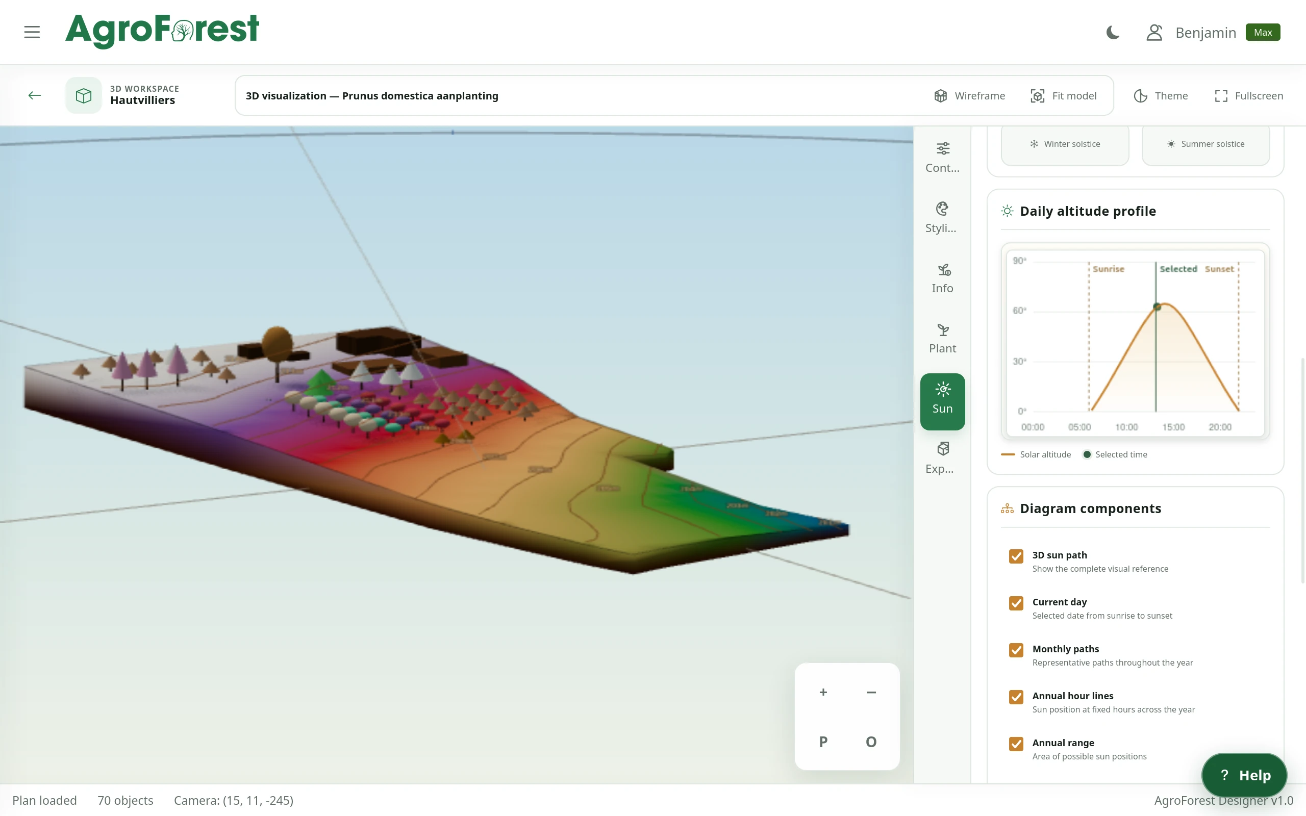
Explore the planting plan and terrain in 3D while reviewing the sun path and seasonal light conditions.
 Product capture
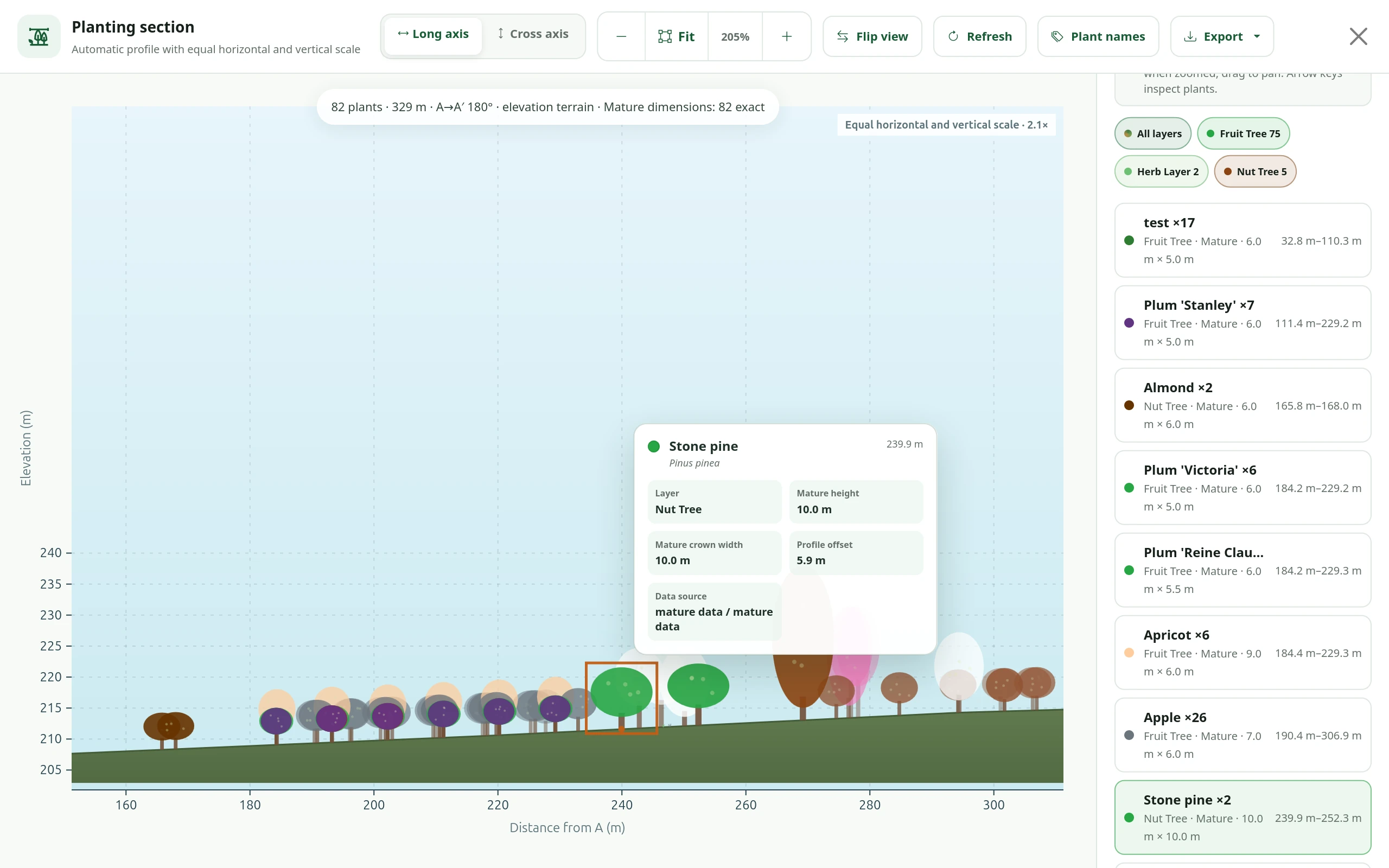
Review mature plant heights, crown widths and terrain elevation together in an exportable profile view.
 Concept illustration
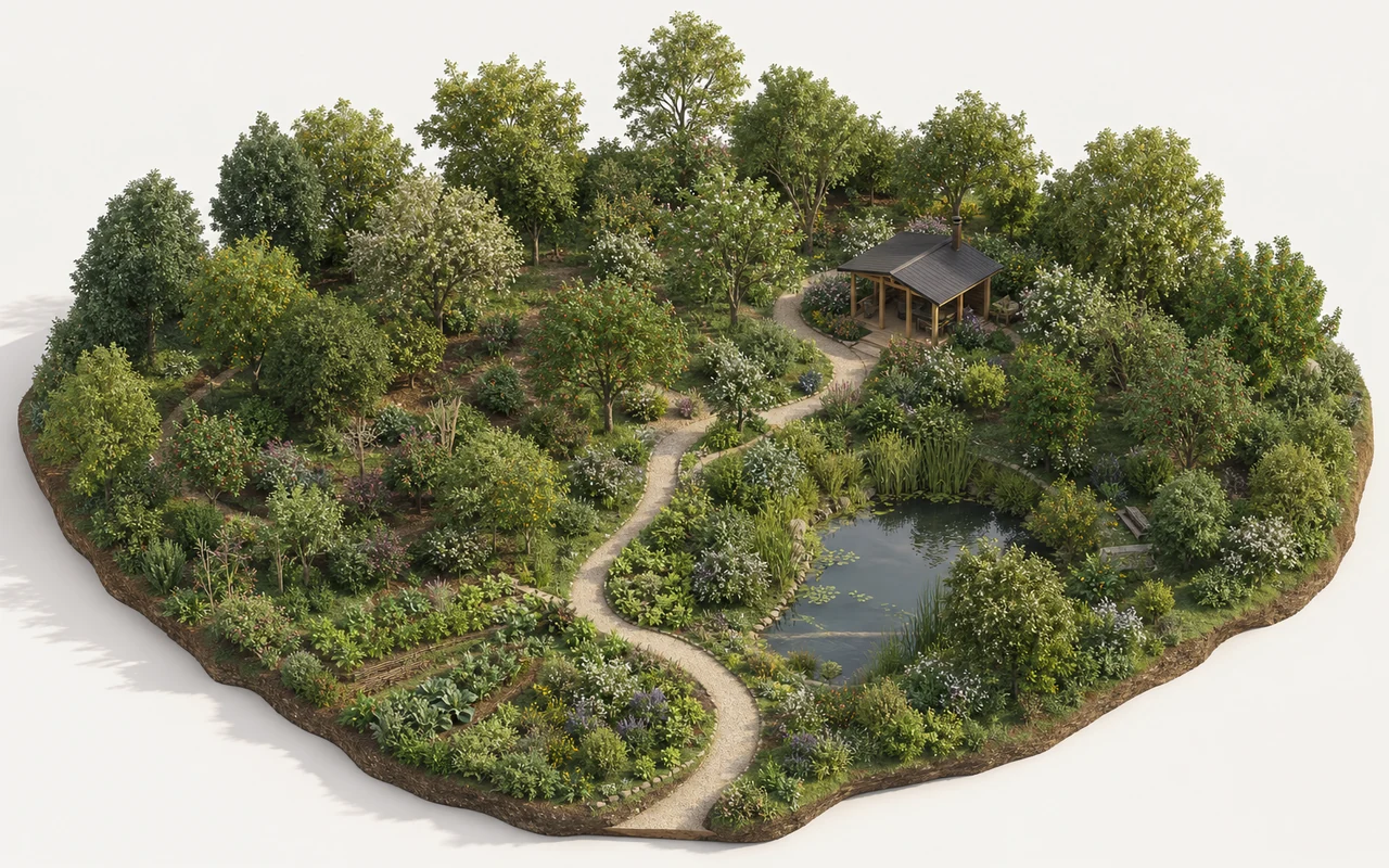
A concept illustration helps communicate canopy, understory, paths and water as one landscape.
FAQ
No. It complements the precise 2D plan with a view that is easier to experience.
The viewer supports plant dimensions across available growth stages.
Professional visualization and model exports are available with Pro and Max.
Your design starts here
Start without payment details. Add capacity or professional features later, when your project needs them.